en
 Az
 Ru
ML 1.0
Date:
20.06.2026 | 05:46:34 UTC
Local time:
20.06.2026 | 09:46:34
Coordinates:
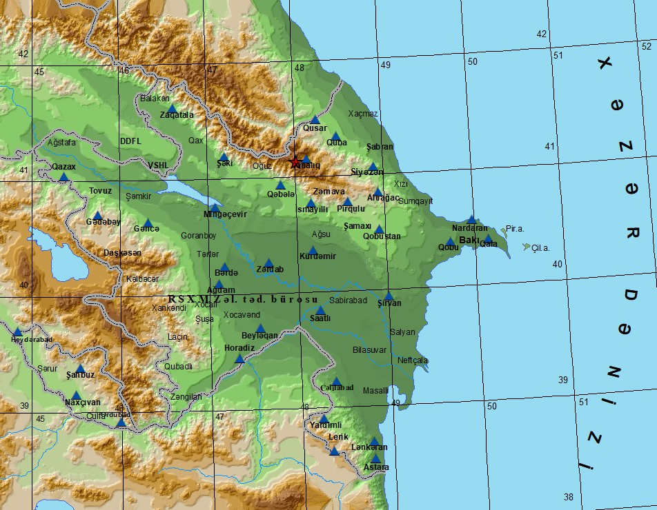
41.15 N, 48.02 E
Depth:
1km
Region (2026-06-20_05:46:34 UTC)
Notes
According to the Bureau of Earthquake Research, a landslide was recorded in the Guba region near the Gusar border.The landslide continued on 20.06.2026 until 12:24:07 local time on 22.06.2026.There are no settlements in the area (the magnitude and depth of the landslide were not recorded).